Saturday, October 22, 2011

Antietam in Black and White

My new DIY camera! The DC67 TRL "Twin Lens Reflex". Bought on E-bay as a plastic kit for $12.00  and free shipping!
Cannon at Antietam with light leak. Shot with the DIY camera on Kentmere using 400ASA film. It's recommended that 200 speed film be used. The aperture is fixed. It's a simple piece of plastic with a hole in it. The following shots are my first roll used in the new camera.
Shot looking down the Hagerstown Pike. Bad light leak across the center of the frame.

Another shot of the fence along the Hagerstown pike. This time the light leak is not as noticeable. I like the vignetting around the corners. Perhaps this camera has some potential after all.

Fence along the "Bloody Lane". Shot with the Holga wide angle pinhole camera. I got some light leaks along the side of the film again. I think it must happen when I change the film. The camera is not winding the film tightly enough on the reel, so light can leak around the paper edges of the 120 film. I am still searching for a better way to change rolls in the field. Working with 35 mm film I found a small two reel plastic tank for developing the film. I think that I can use this to put the shot 120 film rolls in. Doing everything in my changing bag. That way everything can be done in the dark and kept light tight.

empty field- Antietam

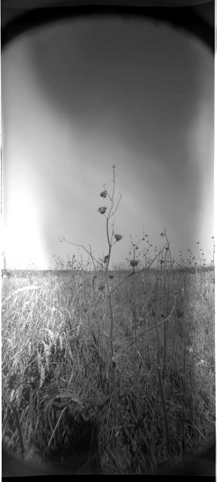
weeds standing tall where once Union solders stood


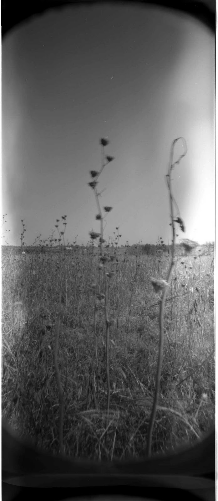
Fall weeds in the field in front of the "bloody Lane"
Pin hole image looking down "Bloody Lane"
Had a great driving adventure the week of October 8-9. It was a perfect fall weather weekend. Plus, I got a chance to check out some places in Maryland that I have never been to before. My sketchy plan was to drive down to Harper's Ferry and climb the bluffs of the Maryland Heights, over looking Harper's Ferry. Early Saturday morning I left Brooklyn and headed south, reaching Gettysburg around 10AM. I was hoping to stop off and get a bite to eat. However the diner I had in mind wasn't open yet.  So I continued South.
Reaching the Harper's Ferry area, I drove around through town. I then remembered that you have to park outside of town and take a bus back in. The town is so small there is no way for everyone to park there. Heading back out, I stopped and got directions to the Maryland Heights trail, back over on the Maryland side of the Potomac River. I found the road that leads under the highway and then runs along the railroad and B&O canal. Following that road, I soon came to the pathway that leads up to the heights, but it was swarming with people. There is limited parking along the side of the road and sure enough all the spots were taken. With my hopes of completing my quest dashed, I continued along and took the first road, up and out of the mountains. Heading away from Harper's Ferry and into the unknown.
One of the great things about driving around this part of the country is that it's almost imposable to get lost for very long. All you need to do is remember your Civil War history. Using that knowledge when you get to a town or named road, you can think back and orient yourself. In this particular scenario, I thought of the Confederate army, under Stonewall Jackson, marching, or more like running, up the road to Sharpesburg, after accepting the surrender of the Federal forces at Harper's Ferry. The timely arrival of Jackson's men thus helped save Lee's forces engaged in the battle of Antietam. Little did I know at the time,  but sure enough the road lead right up to Sharpsburg and the Antietam Battlefield. What beautiful country. No wonder it's called the "pleasant valley".
On this trip I was planning a larger photo-shoot of the Maryland Heights. Kick starting a large new project that I have in mind, so I brought along all my cameras. However I ended up only shooting with the Holga Wide angle pinhole and my newest 35mm DIY "chi-com" camera. After arriving at Antietam I wasn't feeling the photography vibe. Driving around all day makes me want to keep moving, so it's hard for me to stop, and switch gears. I have to make a real effort to stop the car, get out, and look around. It's even harder for me to see something and stop to turn around to check it out. We all tend to place all sorts of artificial boundaries on our self's. These become habits and are therefore hard to break. This one that I've got to work on! I hope the awareness part of this is the first step of fixing it. I also had no plans for shooting at Antietam. But I did get a chance to check out my new camera. Anyway, here are the results. The images are in no particular order. Enjoy.
The next day I took the family back to South Mountain. We found the monument to General Reno, the Union general that was killed in action here.

The Reno Monument South Mountain

The camera is small and light weight.
The camera comes as a plastic kit. Just like a model car. The only problem is the instructions are in Chinese!


Corn field at Antietam. Shot with the DIY camera on Kentmere 400ASA film. I don't know why the center is out of foucesorn field at Antietam. Shot with the DIY camera on Kentmere 400ASA film. I don't know why the center is out of fouces. I was playing with focusing but I didn't take any notes. Shooting 35mm film after using 120 and 4x5 is like playing around with toy film.  Oh yeah....... it is a toy!

Monday, October 17, 2011

Fort Defiance Brooklyn- Drawings

Taken from "The Heroes of the American Revolution and their Descendants, Battle of Long Island" by Henry Whittemore 1897
Battle of Fort Defiance August 1776- 2011

"One ship of smaller size (HMS Roebuck) alone succeeded in working up sufficiently far to open with its guns on the wholly inadequate battery the Americans had established at Red Hook, on the western extremity of their Brooklyn lines; and the fire of even this single ship sufficed sadly to injure the breastworks, and dismount some of the guns."

Taken from "Studies Military and Diplomatic 1775-1865" Charles Francis Adams, Macmillan Company 1911, Republished by Sam W. Galowitz "Revolutionary War Battle of Brooklyn".  2007 pp.143


"Parapet of Fort Defiance" 2011- Red soil of Red Hook. Soil over photograph of modern Red Hook
“situated in such a manner as to command the harbor entirely. We have a fort with four 18-pounders, to fire en barbette. That is over the top of the works, which is vastly better than firing through embrasures, as we can now bring all our guns to bear on the same object at once. The fort is named Defiance.”  
Taken from "The Battle of Brooklyn 1776" John J. Gallagher, Castle Books 1995
Red Hook soil- The Red soil parapet Walls of Fort Defiance.
View of New York from Fort Sterling or Crescent Fort
View of Brooklyn from New York entrenchments.

Friday, September 23, 2011

Fort Jay- Governors Island

This negative looks like it's on a broken glass plate. I'm not sure how that happened except it's at the end of the film roll.
 
This is a continuation of a recent blog post about Governors Island and Fort Jay. The previous post dealt with what I call the "Brooklyn Gun" discovery. This post is about documenting the Fort walls and the flag pole. I have always liked the way the American flag looks, flapping in the wind, with a long exposure. The square blue field is always easily identifiable because it is fixed near the pole, while the red and white bars blur into infinity with the sky.
 The area that I photographed is the Rodman Guns that face lower Manhattan on the North side of the fort. I photographed here twice. The first time I was able to walk onto the ramparts. The second time it was fenced off. Probably because it was Civil War weekend and the cannon demonstration was held close by. For safety reasons They didn't want anyone getting to close.
The moat area on the East side.

I tried to get the guns and the flagpole in the same shot. It looks like I could have moved a little closer because the guns are to far away and small.

Holga 120N shot. I had to hold the camera around the fence.

One can see from this angle the way the fort is designed to be hard to hit with a 19th century period cannon. The grass and earth are sloped up to deflect cannon balls upward, over the top and away from the forts walls. Holga 120N on Fuji 100

In the moat
.Another view from inside the moat
Here is an map showing the original shape of Governors Island. On the bottom right you can see what is called the South Battery. The next photo below is taken from that point. It is interesting to me because it over looks Brooklyn and my home. In the lower left you can see how the island was added onto. All the landfill that doubled the size of the island came from the excavation of the NewYork City subway system.

View east toward my loft in the center between the street sign and the cranes. The stone wall is part of the South Battery. A small stone fort that covered the approach to the Buttermilk channel. The channel separates Brooklyn from Governors Island.

Tuesday, September 20, 2011

Visit to Mommoth Battlefield

I made a quick visit to the Mommoth Battlefield back in August.  The weather was hazy, hot and humid, typical for August in central New Jersey. I knew before hand that it would be hard to intrepid the battlefield without a guide. So I scheduled my trip around a battlefield walk hosted by a local historian. Thought there are some subtle landmarks and areas of note, Combs Hill artillery position for one. The landscape is not that dramatic. The main battlefield is a large ridge/hill that has a fence line and orchard across its peak.
View of orchard

 This area saw heavy fighting. English troops tried to out flank the American troops on theother side of the road moving from right to left along the area of the tree line. Holga 120N.


I took along my trio of cameras. My two Holga's, the 120N and the WPC pinhole. I also brought the larger wooden 4x5 pinhole. On the whole, this was not a very successful documentation trip. I had some exposure issues with the Holga 120N. I mixed up the bulb switch and could not tell if it was in the right position. I should know by know right? A number of shots turned out way over exposed. But maybe it added an interesting quality to the otherwise mundane tree line landscapes.
Holga 120N shots


Combs Hill is the grass slope in the center.


The view from Combs Hill is perhaps the most impressive on the field. It was from this location that American Artillery was able to provide enfilading cannon fire into the ranks of English soldiers. It has been said that one cannon ball was able to knock the muskets out of the hands of a whole English platoon.


View from down range of Combs Hill.
View down Combs Hill from the visitor center. The Fields in the distance is where the main battle was fought.

Another view down Combs Hill from the visitor center.I moved to the right of the above image. Both these shots are 4x5 Pinhole images.
 Not far from the battlefield is the Old Tennent Church. The structure was used as a hospital after the battle. There are a number of old period grave stones in the church yard.
A holga 120N capture of the Tennent Church.

A 4x5 pinhole capture.


Monday, September 19, 2011

Fort Stirling and Fort Half Moon- The Forts of Brooklyn Heights

This has been a long over do project. It has all the scenic elements that amateur photographers could want. Iconic vistas, recognizable skylines, a promenade, tourists from all over the world take photos from this location. I came here with the goal of seeing the view in reference to the fortifications that occupied these heights in the 18th century. Today there are scant references to the past. However there is a small fenced in area with a sign marking the location of Fort Stirling Park, at Clark Street and Columbia Heights. A black iron fence encloses the small, wooded plot. It is not open to the public. As with most “Battle of Long Island” sites, some imagination is required to view the sites. Here is more information about the history of the parks development. 
Intersection of Columbia Heights and Clark Street. Buildings frame the small fenced in park.
Holga 120N. The fence.
Because I live nearby, I can easily walk to the location. The photographs were taken over two different visits this summer. The last visit coincided with the Great East Coast Earthquake of 2011. Unfortunately,  I was walking to the heights and didn’t feel it. It would have been neat if I was making an long pinhole exposure when the earthquake struck. For cameras, I took along my 4x5 pinhole, my Holga 120N and the wide angle Holga pinhole cameras. I wanted to document the present day park, as well as the commanding view the forts had over the harbor and East River.
A Holga 120N Photo-shopped panorama depicting the field of view from the Forts of Brooklyn Heights.
View looking up the heights to the location of Fort Sterling Park in the center of the image. A 4x5 Pinhole capture.
4X5 Pinhole capture.
 Further History of the area. 
Fort Sterling: March 1776, Kings County, Brooklyn. The first American fort built in Brooklyn; it was located on a bluff at the very edge of the Brooklyn Heights. The site today is Columbia Street between Clark and Orange Streets. Also known as Fort Half-Moon because of its open back. The fort was designed to command the East River. Taken by the British in August 1776 it was continuously garrisoned until their evacuation in 1783. This site was not used again. Another fort referred to as a grand citadel to be called The Congress was to have been constructed to the rear on higher ground at Henry and Pierrepont Streets but was not started, but was where the British later built Fort Brooklyn.
Taken from New York State Division of Military and Naval Affairs: Military History web site.
And the later Fort Brooklyn
View of the harbor from the "fort." A pinhole capture.

A view of the park taken from the Brooklyn Historical Society. Circa 1934.

I found this drawing of Brooklyn Heights. I think this must be the area around Montague Street.