Wednesday, May 25, 2011

William Abbatt's "The battle of Pell's Point" Photograph Number 5

Photograph Number 5 from "The Battle of Pell's Point (or Pelham)"is a view over looking the Hutchinson river valley towards the west. Today the landscape has been greatly altered. Split Rock road now has houses lining both sides of the street. The only way to see the view would be from someones back yard or by catching a glimpse of it between the houses. This is what I have done and the results are not that great. The woods in the distances of the 1901 photograph has been filled in with large shopping malls and parking lots. The Hutchinson Highway also runs across this area. See the modern image below.
A google earth image of the area showing Split Rock Road and the camera angle. I have also highlighted the location of St Paul's Church. With a slight change in angle it would have been seen in 1901 across the valley.
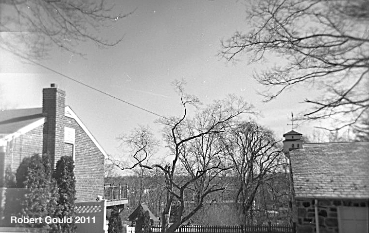
My Holga 120N view looking between the houses along Split Rock Road.

A detail of the above photo showing the ridge line through the tress.

My drawing from the original 1901 image

1 comment: