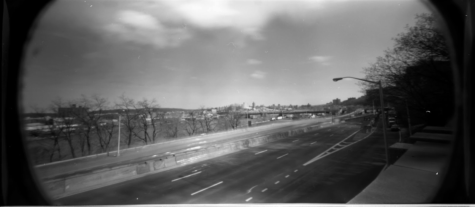
I was thinking about this picture as I was driving home, and looking past the modern buildings and transit artery’s, I could still glimpse the ancient terrain features. The quality of the print is such that I thought that maybe I could find the location or angle that it was drawn from. This has been done with many early photographs from the civil war with remarkable results.
Driving down the highway I try and see if I can match up the angle of view that is similar to the print. Then I look off to my left to see what terrain feature I could use to photograph from. I identified a wooded area under the University. It has a road I could park and offers a high vantage point where I could look out over the highway.
Last March the week before the leaves appeared I was able to make some photographs of the area. I wasn’t happy with the results, partly due to the area is not that photogenic as it exists today and I also had some camera, exposure issues. I also realized that I was not in the right place the original drawing was made.
I constructed a Google map to get a better visualization of the area. Check it out. I guess before the leaves pop out and obstruct the view again I will try and get a photograph from this new vantage point.
View Battle of Fort Washington Painting in a larger map


No comments:
Post a Comment