Friday, July 22, 2011

HMS Indefatigable- The "Splash" project

I am revisiting a body of work that I started in 2009. This work is inspired by a photograph of the sinking of a English war ship HMS Indefatigable during the Battle of Jutland May 31,1916. 

The HMS Indefatigable sinking after being struck by shells from the German ship Von der Tann. Only three sailors out of 1,017 survived. Here is the link to the Wikipedia page. http://en.wikipedia.org/wiki/HMS_Indefatigable_%281909%29
It’s a dramatic image of the ship sinking shrouded in smoke and clouds on the horizon. This intense action is taking place so far away that it obscures the gravity of the struggle. In a closer examination of the photo I noted an area of white water in the foreground. It looks to me as if something has hit the water and created a splash, moments before the photo was taken. I began to imagine that some other unseen ship was firing at the ship that the photographer was on. The area of white water was evidence of a near miss. The shell harmlessly exploding in the water next to the ship sailing by. 

  My reinterpretation of the photograph started with some drawing with ink and white gouache. 

Ink and Gouache on white paper. Copyright Robert Gould 2009

Ink and Gouache on white paper. Copyright Robert Gould 2009

Ink and Gouache on white paper. Copyright Robert Gould 2009
 These drawing lead me to examining the relationship between the sky and water. First, tonally with ink, & then with color using oil sticks on paper. I like the composition, however ultimately color is going to be an important element of this work. The sea and sky merging together has be just right. 
Unfortunately the photos of the paintings below are washed out. I am going to have to re-shoot them at some point. 
Oil stick on brown paper shopping bag.

Oil stick on brown paper shopping bag.

Oil stick on brown paper shopping bag.

Oil stick on brown paper shopping bag.
Adding the tricky element of color reminded me of the painting “Nebraska” by Brice Marden.
“Nebraska” by Brice Marden 1966.
The color must be perfectly balanced as in the Marden work. It would be nice to observe the true color in nature before I can continue with the project.

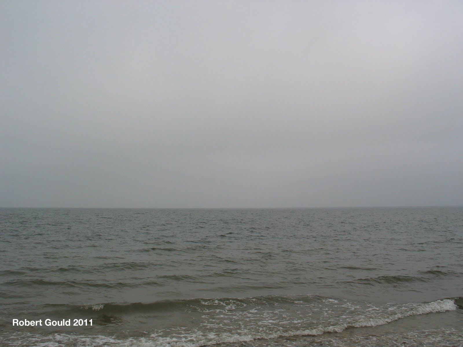
This summer our vacation cottage over looked the Long Island sound. Seeing the ocean view reminded me of my splash project and the location enabled me to observer the sea and sky for an extended period. I had the luxury of just grabbing the camera a taking a few pictures every time the light conditions were right. The result was a collection of photos and a starting point for some more oil color studies.


Monday, July 18, 2011

Orient Point Civil War Mounment


Image number 1. This is the earlier of the two postcards from the early 1900's. Notice the streets are unpaved. I wonder if any of the trees are the same in both photographs?

My family and I spent our holiday on the North Fork of Long Island this summer. Often we would drive from Jamesport area out east to the towns of Greenport and Orient. We liked to eat at a seafood place that was also a boat marina near Orient Point. One day walking into the restaurant, I noticed a display of old 19th & 20th century post cards showing the area around Orient. The ones that caught my eye were two depicting the Civil War monument in Orient. I thought that it would make a good now and then photo project. So the next time I we came out to the restaurant I brought my digital camera and capture the postcards & the actual scene. The monument was dedicated in 1870, and I believe that it honors the area men that fought in the war of rebellion. There are a number of names inscribed on the four sides. Greenport and South Hold have similar monuments. More on those later.


Image number 2. A later postcard possibly from the 1920's. Notice how the street's have been paved and a sidewalk put in. The Orient Congregational Church is hidden behind the trees in the modern view.


Friday, July 1, 2011

#mapBK mysteries

[Untitled], ca. 1888.[Untitled], ca. 1888.[Untitled], ca. 1888.[Untitled], ca. 1888.Beach at Coney Island, Brooklyn, ca. 1888.[Untitled], ca. 1888.
Children and Dolls, Brooklyn 1880's, ca. 1888.[Untitled], ca. 1888.[Untitled], ca. 1888.[Untitled], ca. 1888.Blizzard of March 1888, Brooklyn, ca. 1888.Family, Brooklyn, ca. 1888.
[Untitled], ca. 1888.Boat, Water, ca. 1888.Coney Island, 1897.Untitled, 1896.Surf Avenue, Coney Island, 1902.Coney Island Fire, Coney Island, 1903.
Surf Avenue, Coney Island, 1902.Snow Scene, Prospect Park, Brooklyn, ca. 1872-1887.Up the Trout Brook, New Lots, Brooklyn, November 26, 1874.Down the Meadow Lane, New Lots, Brooklyn, November 26, 1874.Owls Head, Bay Ridge, Brooklyn, ca. 1872-1887.View at Hunt's Dock, Bay Ridge, Brooklyn, ca. 1872-1887.

#mapBK mysteries, a set by Brooklyn Museum on Flickr.

Found some new online photo sites. When I get back from vacation I will be posting to Historypin's.

Friday, June 10, 2011

Gettysburg "Fish Hook" Drawings

An example of a print of John Bachelder's Map of Gettysburg. The Library of Congress, describes the map as: “Colored bird’s-eye view showing the topography of the battlefield by the perspective of the drawing, shading and coloring. Drainage, vegetation, roads and streets, railroads, bridges, houses and names of residents, fences, points of interest on the battlefield, including designations of places where officers were killed or wounded, are indicated. ….The locations of the corps, divisions, brigades, etc. of both armies, with the names of commanding officers, are given in detail. Badge symbols are used to identify the Federal corps.”
My unfinished copy of the Bachelder map from 2010. Oil on canvas 53"x36". This approach led to a dead end or did it.
 
I’ve been working on creating a representation of the Gettysburg battlefield for quite a while. It’s a massive on going project, with so many directions to explore. This particular series has a starting point with the wonderful map by created by John B. Bachhelder in 1864. I have always enjoyed “bird-eye” views of landscapes and battles. This was a common way to depict landscape popular in the 19th century. I am hopping that a similar approach might be interesting to work on.  However, I was missing a framework on which to base my interpretation on. I came up with working with the famous “Fish Hook” element that the Union line held for most of the battle.
From this concept I came up with two basic compositions. One looking east from the view of the center of the Confederate Army facing the Union army. The other view I like is looking south with Culp’s Hill in the foreground. This view gives an enhanced sense of perspective and space.Once again I’m working on my favorite paper shopping bags. They are cheap and relatively durable. I am always looking for things that are in my environment that I can use for creating artwork. Re purposing these bags fit my needs for cheap paper quit nicely. More importantly I can create more freely and take more chances with this work, knowing that I have a large stack of paper on hand.
The drawings are created with charcoal, black sumi ink, black tempera paint, and white latex house paint. I also try and work with the brown paper color, letting it come through the various layers. This time with some of the pictures, I mixed some Fullers Earth with some molding paste. As the stuff dried it cracked and raised away from the surface. However it remained hard and pretty well stuck to the paper. You can see this effect on some of the detail images that I included. This painting technique is far from being archival, but that is not my concern at the current time.
View of the hook looking east. Culp's Hill on the Left and the Roundtops to the Right. Mixed media on brown paper shopping bag. 34"x17"

Detail of the above image
A simple painted jester of the line
Thicker articulation of the painted surface
Adding locations and landmark, sculpting the terrain.
Detail of the above image


View looking South. Culp's hill in the foreground.


Reworking an earlier composition.

You can see how I went through similar process with both compositions. Culp's Hill view with locations marked.

(Note- This artwork was all completed before the History Channels TV show “Gettysburg”. That show made repeated references to the "Fish Hook" element of the battle. I don't want to give the impression that this TV program inspired these pictures in anyway, shape, or form.)

Monday, June 6, 2011

Glover's Rock- Three Images from Williiam Abbatt's Book.

Glover's Rock 1901 and 2011. View looking towards the West.

"At Glover's Rock the unnamed Captain and his forty men fired the first shots as they faced the party of advancing invaders, of about the same strength. Having thus put his three regiments in ambush, Glover rode to the front and ordered the advance guard to push forward-which they did, receiving the enemy's fire without a loss, thought only fifty yards distant. Their return fire was better aimed, and brought down four opponents. At short range five rounds are exchanged. Two of the Massachusetts men lie dead now, and several are wounded. The British are considerably re-enforced, and to remain longer against such odds, and exposed to what then and for a year afterward the patriots were unable to resist- a bayonet charge- would be madness. The order is given to fall back. Which was masterly well done."
 
The following excerpt is taken from Abbatt’s book page 13-14. I believe it was culled from a letter that John Glover wrote soon after the battle, and is basically our only transcript that details the battle.

Weather or not the opening action actually started near this rock or not, is a matter of historical debate and falls outside of scope of these blog posts. My interest has been in this series of fascinating photographs from William Abbatt's 1901 self-published book "The battle of Pell's Point (or Pelham) October 18,1776". This is the last batch of "before/after" images that I am presenting. (See previous blog entries for the other nine images). In this post I am including three images together because they were taken in close proximity to one another. All images are along what today is called Orchard Beach Road. From my visits to the Rock it appears that Abbatt’s photographs of Glover’s Rock and the view to the East were taken from almost the same spot. The photographer spinning 180 degrees, the camera facing East toward what today is Orchard Beach, then back to Glover's Rock in the West. The third photograph seems to be taken a little further up Orchard Beach Shore Road. In the direction of the intersection with Split Rock Road/Shore Road.


Today there is a small plaque attached to the rock commemorating the battle. Abbatt points out that numerous cannon balls have been found near here from the English cannonade that supported the landing party. The actual landing location of the English troops has been said to have occurred either at what today is called Rodman’s Neck or near where the Pelham Bridge/ Shore Road is located. Clearly the Blaskowitz map (See below) depicts troops landing at the Pelham Bridge location. (See this earlier blog post for some color pin-hole shots I have taken of that near-by area

http://robertgouldhistoricalartist.blogspot.com/2010/12/battle-of-pells-point-or-pelham-october.html
  

A detail from the Charles Blaskowitz 1776 map. This map is widely considered to be the most accurate contemporary representation of the battle. I have marked out the important sites for this blog entry. For more detailed information about Charles Blaskowitz please see Blake Bell's fantastic web site on the history of Pelham. With out it I doubt that I would not have found much information about these events. Thank you Mr.Bell.
http://historicpelham.blogspot.com/2010/04/charles-blaskowitz-surveyor-who-created.html
Although the action at Pell’s Point ranks as a minor skirmish, it did have some historical importance at the time. John Glover and the Marblehead patriots delayed Howe's advance into Westchester County. Enabling General Washington to evacuate troops from upper Manhattan and move them north, thus setting the stage for the Battle of White Planes. Once again even though losing all these engagements around New York, General Washington was able to keep his army intact, to retreat, and fight another day. The British forces were denied a conclusive victory and they failed to crush the fledgling rebellion. Although there are some flaws in Abbatt's account of the battle, the book makes for an intriguing read. It is available via Google books as a free download or, original copies come up for auction form time to time. The main branch of the New York Public library has two original specimens that I have examined.

This project has been a interesting creative exercise for me. Discovering William Abbatt's remarkable self published book, gave me a starting point for exploring this battle and the environment it took place in. I found the photographs most riveting and a window back in time. Although the terrain has changed considerably since 1776 it is still possible to get some insight as to the role the terrain played. Using Abbatt’s photographs from 1900 to compare with modern views has been helpful in trying to bridge the span of time. I hope that my "before and after" images have contributed to the historical record in some small way.
Glover's Rock looking West along Shore Road. Perhaps the original photo was taken further on near the bend in the road. The 1901 image is on the left and the 2011 image is on the right.

This image is a 180 degree view from the image of Glover's Rock. The 1901 image is on the left and the 2011 image is on the right.
Holga pin hole looking east toward Orchard Beach

Holga pin hole looking west toward Split Rock Golf cource.


Glover's Rock from the same angle as the Abbatt photo, but I'm a little to far way. Holga Pinhole virtical.

Glover's Rock from the front. Holga pinhole.