Tuesday, September 13, 2011

9-11 Based Artwork

Charcoal, White oil paint on paper 35" x17" 2011
Detail from above image

Oil Stick, White oil Charcoal on paper 35" x17" 2011
Detail from above image
Detail from above
Oil Stick. Oil paint on Paper 35" x17" 2011

Detail from above

Oil Paint, Oil stick, Charcoal on paper 35" x17" 2011
Oil Paint on paper 35" x17" 2011

Acrylic Paint, Oil paint, charcoal on paper 35" x17" 2011
I don't have much to say about these. I did not think it was possible then, and I don't think I can discuss the events now through art. But I can approach this now historical event from my direct experience of it.

Sunday, September 11, 2011

Tour of Evergreen Cemetery-The English Army's End Run

"On the night of August 26, 1776 a British force of about 14,000 moved in silence along The Kings Highway in a move to encircle the American defenders. The British forced Howard and his son to lead their troops through an obscure trail, still visible in the Cemetery, around the pass to the road leading to Bedford Village. At daybreak on the 27th, the British swept down the road from Bedford to attack the American positions from behind. At the same time, a second force of redcoats and Hessians charged the front of the American line. The Americans were routed and fled back to the safety of Brooklyn Heights." Text from Bill Coughlin of North Arlington, New Jersey more info here.

One of the great things about cemeteries is that they become sort of a time capsule. In fact that is an essential  element of a cemetery, "a final resting place". Time is frozen and change happens slowly. The land is preserved. Two great examples of this, Evergreen and Greenwood cemeteries are in Brooklyn. Today they are the best preserved landscape from the "Battle of Long Island"era.

As part of "Battle Week", several tours of the grounds were offered. I was able to attend the Evergreen tour and was glad I did. The tour was conducted by Anthony Salamone, a cemetery employee and local historian. This area of Brooklyn in 1776 was the location of Howard's Inn or Half Way House. It is located on the Jamaica Road half way from the town of Jamaica to the ferry landing near the present day Brooklyn Bridge. It was known that the British Army detoured around Jamaica pass using an old Indian trail. The location of this trail was not known and lost to history. Anthony was the principal player that re discovered the trail using old burial maps and his own military back ground. Today the trail is marked by following a grassy path in between the graves. The path is called the Rockaway Foot Path. Native Americans used this trail for travel and trading with other tribes for hundreds of years. Please follow this link to the Evergreen web page for excellent detailed article.

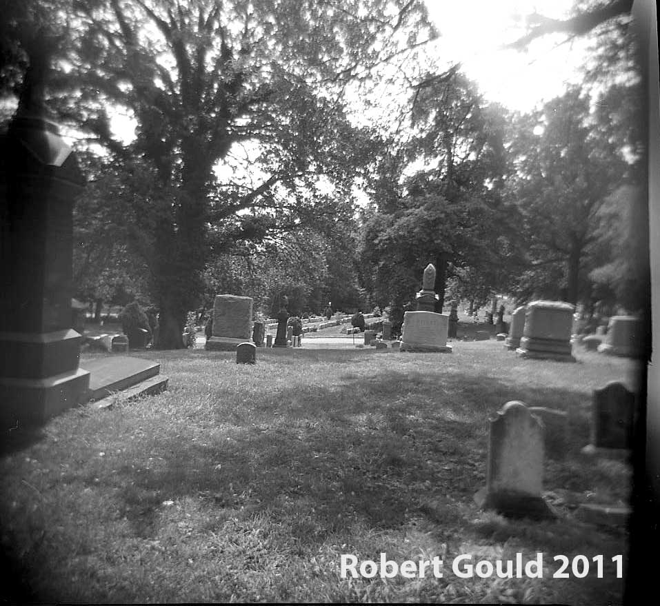
Photographing this project was not successful. I used my Holga 120N and my Holga WPC wide angle pinhole camera. I used a red filter on the Holga 120N but forgot to compensate with the exposure. I had it set to "sunny" when I should of had it set to "cloudy". That opens the F-stop 1 stop or so. As a result not many pictures turned out well. I was also cursed with a light leak coming from inside the camera. That has been now corrected with some black tape over some screw holes. The other pinhole camera camera had problems. When I opened it up to change film, the roll wasn't wound tight enough. So I ended up with light leaks on the film edges.
My goal for this project was to get shots of the trail and I was also hoping to find  panoramic open views of the city. There are views of the Jamaica Bay area and Manhattan, but do to all the tress it was hard to find an unobstructed view. Maybe I will go back in the late fall and re-shoot when the leaves are down.

This is the pathway that the British army used to climb over the ridge. It is not very long or very steep. Its a shallow pass over the steep terminal moraine that was formed in Brooklyn during the last ice age. Its a much gentler grade to march army's of men and wagons the other places near by.

Here is a view looking down the pass. This is the hidden trail that the Howard's lead the British army on. Thus by passing the main road at Jamaica Pass.
A view of the pathway as it meanders through the rolling hills.

More excellent text and details on the Evergreen web site here.

A wide angle pinhole shot looking up the shallow pass.
Area of Howard's Inn on the Jamaica Road.

Howard's Inn 2011 landscape.

Thank you to the staff of Evergreen Cemetery and to Anthony Salamone
http://www.theevergreenscemetery.com/stories/rockaway-path/the-rockaway-footpath/

http://www.hmdb.org/Marker.asp?Marker=30061

Tuesday, September 6, 2011

Cannons in my backyard- Life under the guns of Fort Jay


I’ve been spending this summer in my backyard. as a lot of people do during the summer. Only I don’t have a typical yard with grass, tress, barbecue, etc. Behind my building is the whole of New York harbor! My home for almost twenty years is one block from the  “Buttermilk” channel. A narrow shipping channel that separates Brooklyn  from Governors Island. Governors Island is an interesting and unique place in New York City. It’s fascinating because it has not been a victim of commercial development that the rest of the city has undergone over the last 150+ years. This is because Governors Island has been a military post since before the American Revolution. Recently it was turned over to the City of New York. Now it is a summer only destination for cultural and art events. The island is only accessible from a ferry boat that runs from the Battery in downtown Manhattan or from the Brooklyn waterfront. The island has numerous military installations. One of the largest is Fort Jay. Fort Jay was constructed on top of old 18th century British and American fortifications. The final shape that we see today was constructed in the 1830’s. Also at that time the fort name was changed from Jay to Columbus.Sometime later the name was changed back to Fort Jay.
Early image of Fort Jay taken from "Fort Jay Historic Structure Report" by Barbara A. Yocum National Park Service 2005
This summer I thought I would shoot some photographs with my pinhole cameras around the island. I was inspired from a photograph taken by Matthew Brady that I saw last summer. The photograph is a view of Manhattan taken from the north shore of Governors Island. At least that is what my friends thought at the time. I am unsure. The image reminded me of the contemporary view of my neighborhood in Brooklyn as seen from the north shore of Governors Island today. More on this topic and photograph in later blog posts.
Mathew Brady winter 1864 View of Manhattan? from Governors Island.
 I kept the Brady image in the back of my mind while I photographed the views of the upper New York harbor. So much history can be captured within these views. After getting images from the area of the Brady shot above, I wandered around the fort hoping to get some landscape shots high up, over the trees. Stopping to check out the cannons, like I always do, and with my quest for seeing the landscape beyond, I made another interesting discovery.

The Columbiads
Fort Jay has about 4 or 5 large Rodman “Columbiad” cannons mounted on iron barbette carriages around the fort. Barbette means the gun shoots over the top of a wall. It enables the gun to traverse around and cover a wide area. 
I looks like the guns were still serviceable into the 1890's. Image of Fort Jay taken from "Fort Jay Historic Structure Report" by Barbara A. Yocum National Park Service 2005 page 119
 According to my reference book “Cannons” by Dean S. Thomas, these guns are Civil War era 8 and 10-inch guns. They are really quit massive things. A 10-inch iron gun tube weighs 15,400 lbs! It shoots a 128-pound cannon ball using 18 lbs of gunpowder. These guns were intended for use in forts for shooting at ships. The US built forts such as Fort Jay up and down the American seacoast. Thus guarding major cities and waterways during the 19th century. For more info about this type of cannon look here. 
Image of Rodman cannons taken by M. Brady during his winter visit. Instead of looking at the barracks detail, Note the same tress and half sunk boat on the left as in the earlier Brady photo. Well that will have to be another blog post! Taken from "Fort Jay Historic Structure Report" by Barbara A. Yocum National Park Service 2005
Checking out the first gun I came to, I set up my tripod and shot some 4X5 and 120mm Holga shots. I took my time. I wanted the photos to turn out well and not rush. For example, I waited for the sun to re-appear from behind a cloud. Because I use pinhole cameras there is no viewfinder to frame the shot. I noticed that when shooting objects from far away they appear very tiny in the final photograph. I am realizing that I must get really close to my subject matter with these cameras. Slowing down kept me thinking about my subject matter, I took note of the direction that this 10-inch Rodman was pointing. The direction is Brooklyn of course! It is set up to sweep the narrow “Buttermilk” channel of enemy ships. The only problem is, is that you can’t actually see Brooklyn or the water from here because of all the trees. Of course when the fort was in operation, all the trees were removed. It allowed for the maximum fields of fire. But now after technology and time have progressed, nature has re-asserted it’s self.
The Rodman Brooklyn Gun. A 4X5 pinhole image. Looking at the scale with out measuring the bore maybe it is a 8 inch gun?

The Rodman "Brooklyn" Gun. A 4X5 pinhole image.
 Thinking about creating this blog post about Fort Jay, I thought about using Google maps to see if I could plot the actual aim point of what I'm calling the "Brooklyn" gun. What I found out was quite surprising. It is pointed back at me! See the map below. I laid the blue line next to the gun so that I could keep it parallel with the tube.


View Rodman Columbiad at Governors Island New York, NY in a larger map


The straight Line measures 1418 yards from gun to my apartment. The range of a 8 inch Rodman, shooting a 65 lbs cannon ball with 5 degrees elevation was 1800 yards. Info taken from “Cannons” by Dean S. Thomas.
Even if it's not pointed exactly at me, it looks close enough! (Within a few degrees left or right) and close enough for the Internet quack historian on the blog-o-sphere.
Holga Shot of the "Brooklyn"gun

Monday, September 5, 2011

Maryland Monument- Prospect Park, Brooklyn

Wide angle panoramic pinhole shot with a Holga camera

As part of my documenting Battle of Long Island sites around Brooklyn, I made a stop at the Maryland Monument in Prospect Park.The monument is located on lookout hill in the middle of the park.
A early image taken from "The Heroes of the American Revolution and their Descendants. The Battle of Long Island" by Henry Whittemore 1897
.The following is from the Prospect Park web site here

This Corinthian column topped by a marble orb commemorates the bravery of the Maryland 400, the company of Maryland soldiers who fought at Lookout Hill, in what would become Prospect Park, during the Battle of Long Island on August 27, 1776.
The Maryland 400, under the command of Lord Stirling (also known as General William Alexander), held off British General Cornwallis’s troops to allow General George Washington and his forces time to escape across Gowanus Creek. The mission was a success, though at a cost of 250 lives. The soldiers are buried at a plot on Third Avenue between 8th and 9th Streets just west of the park.

The monument was donated by the Maryland Society of the Sons of the American Revolution at an original cost of $3,000. The column was designed (free of charge) by noted architect Stanford White (1853–1906), who also designed the pedestals for other notable Prospect Park pieces such as the Panthers (1898) and Horse Tamers (1899). The main column is 12 feet high, constructed of polished granite, and topped by a marble ball resting on a bronze Corinthian capital (the design is recognizable as a Masonic emblem). The distinctive wrought-iron basket weave fencing surrounding the monument was added at a later date. The marble pedestal was donated by the Brooklyn Parks Department, and the inscription on the pedestal – "My God, What Brave Fellows I Must This Day Lose!" – is attributed to George Washington.

U.S. troops, patriotic societies, the 14th Regiment of the New York State National Guard, and members of the Grand Army of the Republic participated in the unveiling ceremony, which was held on August 27, 1895, the 119th anniversary of the battle. The mayors of both New York City and Brooklyn – as this was before the consolidation of the City in 1898 – were honored guests, along with the Lieutenant Governor. General Horace Porter, Ulysses Grant’s aide-de-camp during the Civil War, also attended the ceremony; Porter’s grandfather was a Revolutionary War General.

I  brought along my 4X5 pinhole as well as my Holga wide angle pinhole. I got some close and far perspective shots. I guess that I will have to return when the foliage has dropped from the trees to see what can be seen from look out hill.
A 4X5 pinhole capture.


A 4X5 pinhole

A little under exposed. Maybe I'll rescan it.


Other websites that have info on the monument- 
http://www.hmdb.org/marker.asp?marker=30765
http://www.nycgovparks.org/parks/prospectpark/highlights/19641

Monday, August 1, 2011

Night Time Cannon Firing at Antietam


I am lucky that the stars were aligned and I was able to witness the following event. I just happened to be in Maryland visiting my family when I checked my computer and read a blog post by Mannie Gentile, (See his blog here) He wrote "Come to Antietam tonight and see a night time cannon shoot!" Three hours later, I found myself on the field of Antietam next to the New York monument  and two replica 12 pound Napoleon Cannons. They were set up over looking the cornfield area of the battlefield. It was a low-key affair attended by about 50 others. The weather was unsettled, with a thunderstorm passing to our north. We had a couple of sprinkles from it, so I ducked into the nearest shelter. There I found myself setting in a pew of the Dunker Church with a bunch of guys dressed in Confederate “butternut.” Quite surreal.
Dunker Church Antietam. Shot with Holga Wide angle Pinhole on Fuji 100 B&W. It was about a 15 second exposure. The film got fogged when I changed rolls.
For my photographs I used my Holga 120N and Fuji 100 ASA B&W film. My goal was to capture the muzzle flash and smoke of the cannon discharge. Luckily the sun was setting and it was a cloudy twilight. I took a chance and set my Holga to bulb and set up my tripod. My vantage point was about 25 feet away from the left gun. I just guessed at the exposures. When I saw the crew set the friction fuse, step away, and yelled “Ready!” I opened the shudder.
"Servicing the gun". With South Mountain as a back drop I set up my tripod at the corner of the New York Monument. I have arranged the photos in chronological order. Both guns were fired three times.  Note how the images become more dramatic as it gets darker.
Notice that the number three gunner, behind the cannon, is still because he is "thumbing the vent". In other words he has his thumb over the vent hole in back of the cannon. This is an important safety measure because it keeps air from entering the gun and douses any left over embers that could explode the next gun powder charge.
First shot.
I like this shot. Reloading for shot two.
Second shot. Note the vertical spouts of flame erupting from the vent hole in back of the gun.
Fire three! Both guns discharged almost simultaneously.

 Mannie Gentile blog-

Friday, July 22, 2011

HMS Indefatigable- The "Splash" project

I am revisiting a body of work that I started in 2009. This work is inspired by a photograph of the sinking of a English war ship HMS Indefatigable during the Battle of Jutland May 31,1916. 

The HMS Indefatigable sinking after being struck by shells from the German ship Von der Tann. Only three sailors out of 1,017 survived. Here is the link to the Wikipedia page. http://en.wikipedia.org/wiki/HMS_Indefatigable_%281909%29
It’s a dramatic image of the ship sinking shrouded in smoke and clouds on the horizon. This intense action is taking place so far away that it obscures the gravity of the struggle. In a closer examination of the photo I noted an area of white water in the foreground. It looks to me as if something has hit the water and created a splash, moments before the photo was taken. I began to imagine that some other unseen ship was firing at the ship that the photographer was on. The area of white water was evidence of a near miss. The shell harmlessly exploding in the water next to the ship sailing by. 

  My reinterpretation of the photograph started with some drawing with ink and white gouache. 

Ink and Gouache on white paper. Copyright Robert Gould 2009

Ink and Gouache on white paper. Copyright Robert Gould 2009

Ink and Gouache on white paper. Copyright Robert Gould 2009
 These drawing lead me to examining the relationship between the sky and water. First, tonally with ink, & then with color using oil sticks on paper. I like the composition, however ultimately color is going to be an important element of this work. The sea and sky merging together has be just right. 
Unfortunately the photos of the paintings below are washed out. I am going to have to re-shoot them at some point. 
Oil stick on brown paper shopping bag.

Oil stick on brown paper shopping bag.

Oil stick on brown paper shopping bag.

Oil stick on brown paper shopping bag.
Adding the tricky element of color reminded me of the painting “Nebraska” by Brice Marden.
“Nebraska” by Brice Marden 1966.
The color must be perfectly balanced as in the Marden work. It would be nice to observe the true color in nature before I can continue with the project.

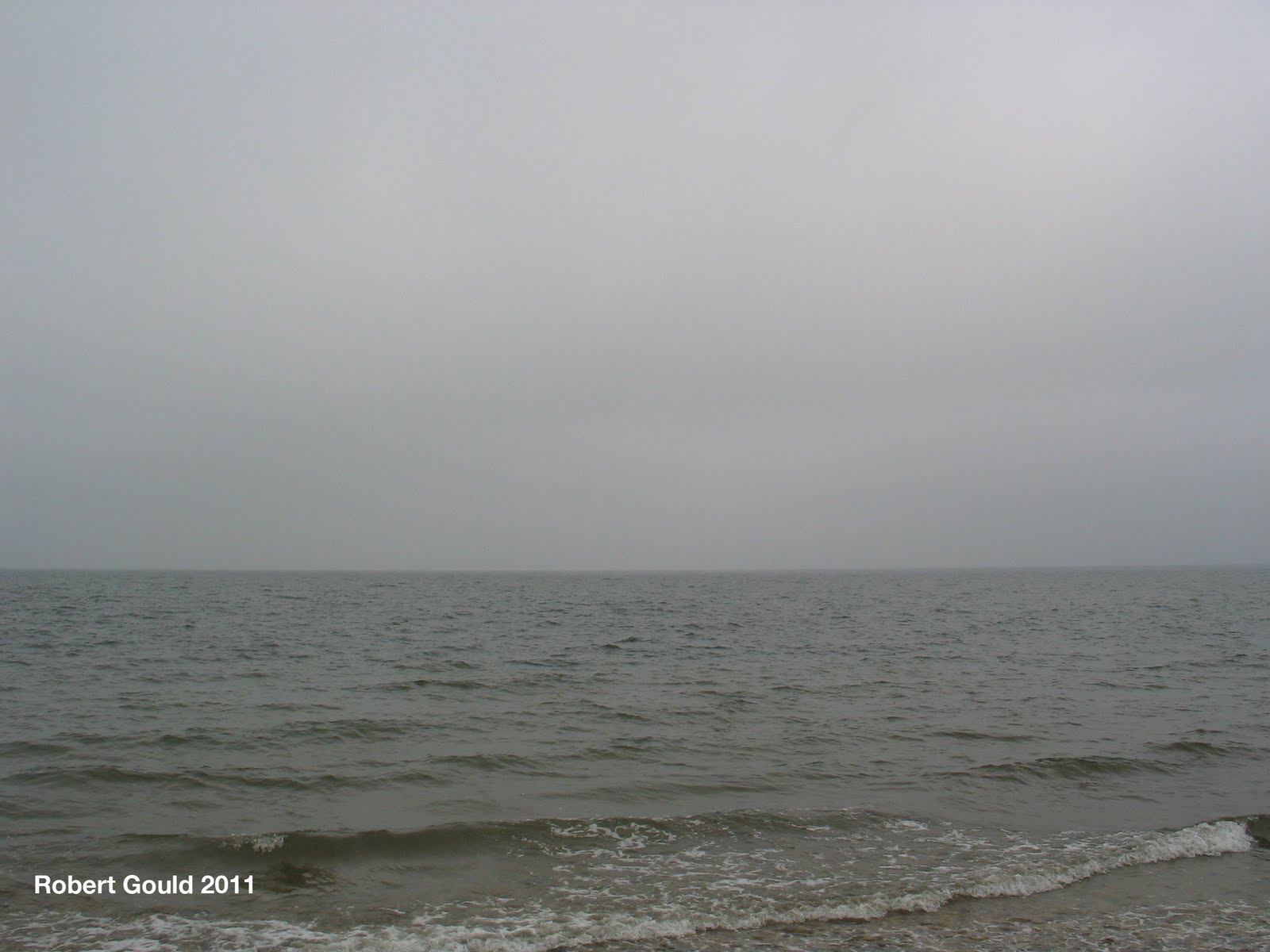
This summer our vacation cottage over looked the Long Island sound. Seeing the ocean view reminded me of my splash project and the location enabled me to observer the sea and sky for an extended period. I had the luxury of just grabbing the camera a taking a few pictures every time the light conditions were right. The result was a collection of photos and a starting point for some more oil color studies.


Monday, July 18, 2011

Orient Point Civil War Mounment


Image number 1. This is the earlier of the two postcards from the early 1900's. Notice the streets are unpaved. I wonder if any of the trees are the same in both photographs?

My family and I spent our holiday on the North Fork of Long Island this summer. Often we would drive from Jamesport area out east to the towns of Greenport and Orient. We liked to eat at a seafood place that was also a boat marina near Orient Point. One day walking into the restaurant, I noticed a display of old 19th & 20th century post cards showing the area around Orient. The ones that caught my eye were two depicting the Civil War monument in Orient. I thought that it would make a good now and then photo project. So the next time I we came out to the restaurant I brought my digital camera and capture the postcards & the actual scene. The monument was dedicated in 1870, and I believe that it honors the area men that fought in the war of rebellion. There are a number of names inscribed on the four sides. Greenport and South Hold have similar monuments. More on those later.


Image number 2. A later postcard possibly from the 1920's. Notice how the street's have been paved and a sidewalk put in. The Orient Congregational Church is hidden behind the trees in the modern view.